
Explore Ontario, municipality by municipality.
Click a municipality to see its election summary. Where ward boundary data exists, zoom in to see ward outlines, pick a ward, see who is running — and continue to Witness Your Vote.
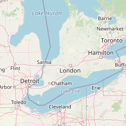
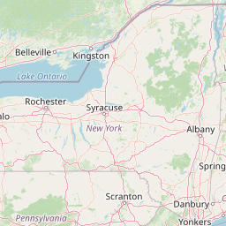
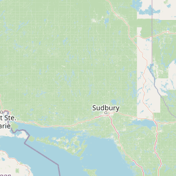
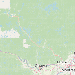
Municipal boundaries: Land Information Ontario (Open Government Licence – Ontario). Ward boundaries shown where open data is available. Map © OpenStreetMap contributors. Always confirm details with your municipal Clerk's office.
How to use this map
- Click any municipality outline (or search above) for its election summary.
- Ward outlines appear for municipalities with open ward-boundary data.
- Pick a ward to see who is running there.
- Choose a participating candidate to Witness Your Vote.
Ward data available for: ajax, barrie, bradford-west-gwillimbury, brampton, brantford, burlington, caledon, cambridge, chatham-kent, clarington, clearview, georgina, greater-sudbury, guelph, halton-hills, hamilton, innisfil, kawartha-lakes, kingston, kitchener, london, markham, milton, mississauga, new-tecumseth, newmarket, norfolk-county, oakville, oro-medonte, oshawa, ottawa, peterborough, pickering, richmond-hill, sault-ste-marie, springwater, st-catharines, thunder-bay, toronto, vaughan, waterloo, whitby, windsor (more municipalities as open data becomes available).